
Attending the online AGU fall meeting? Learn about the latest research from the Sustainable Urban Infrastructure Systems Lab at these poster sessions and talks. Lab members’ names are listed in bold.
Monday, December 7
Presentation
Time: 10:28 am Eastern time (7:28 am Pacific time)
Presenter: Mike Milnar
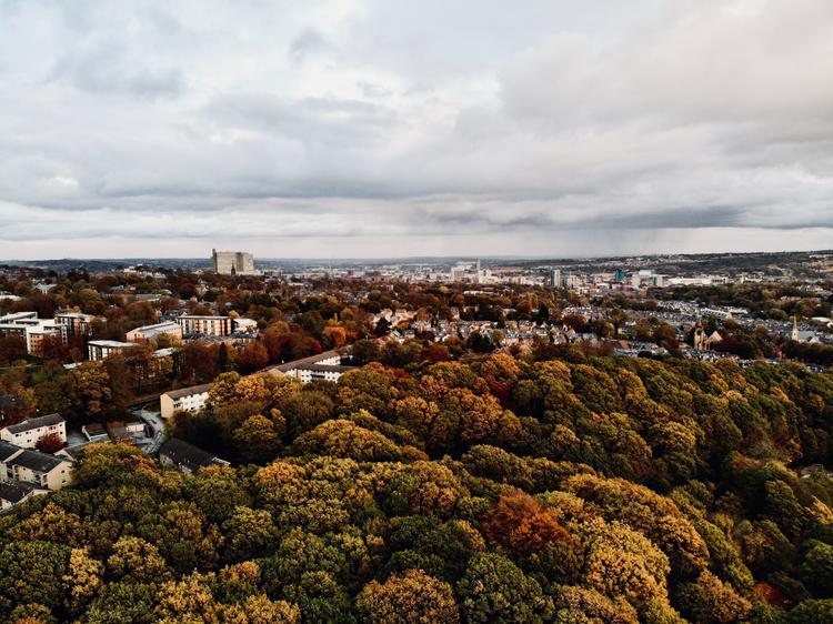
Summary: Biogenic CO2 emissions in cities are shaped by urban expansion and carbon sequestration from in-situ vegetation. To date, these two processes have not been studied together and compared with transboundary fossil fuel-based CO2 emissions of urban energy systems. We leverage remote sensing and machine learning to quantify biogenic CO2 emissions between 2006-2012, across eleven U.S. cities of varying climate, including central and suburban cities.
Thursday, December 10
Poster
Summary: The national and global trillion-tree program as a part of nature-based solutions aims to create negative carbon emissions. Many cities (e.g., New York City, Los Angeles, Denver, etc.) actively participate in these programs in their climate actions. The impact of urban trees on carbon sequestration has been modeled. However, there is a wide variation when evaluating the impact of urban tree canopy on energy-related carbon emissions. Previous studies, assessing this impact based on modeling or observations of single buildings, have revealed the seasonal and spatial variation of energy and carbon savings related to urban trees at the individual building level. However, there are no explorations on how social-infrastructural-urban features and tree canopy together shape residential buildings’ energy use and carbon to inform urban planning and greenery interventions, due to the rare availability of fine-scale urban energy use data and the lack of method. We developed a partnership with a utility to collect the fine spatial-scale data at a monthly base in a US city. Taking advantage of this unique dataset, we developed a method to assess the spatiotemporal impact of tree canopy on energy-related carbon emissions in this city.
Read the full abstract here.
Presentation
Time: 1:42 pm Eastern time (10:42 am Pacific time)
Presenter: Lin Zeng
Session: GC063: Multisector Dynamics: Urban System Interactions and Resilience I
Summary: Urban pluvial flooding is a global challenge that is frequently caused by the lack of drainage capacity in cities. Neither federal nor state government track urban flooding as it occurs or over time. There’s very little empirical information on urban flooding at the fine-scale to inform social inequality and vulnerability. In this study, we explored different approaches including both a citizen science survey and the flood model simulation results to map social inequality in exposure to urban flooding risk in the Twin City Metro Area, US.
Tuesday, December 15
Poster
Title: Comparing simplistic versus complex modeling approaches for simulating localized urban flooding
Authors: Siddharth Saksena, Lin Zeng, Neel Arun Salvi, Sayan Dey, Venkatesh Merwade, Anu Ramaswami and Peter Singhofen
Summary: Despite an immense potential, the application of integrated hydrologic and hydraulic models towards flood modeling and forecasting remains challenging without compromising on the spatiotemporal scale and resolution, computational efficiency, and local-scale hydrodynamics. Due to these issues, it is often difficult to simulate hyper-resolution real-time street level flooding in highly urbanized catchments. Alternatively, localized flooding potential can be simulated efficiently by coupling the overflows from a detailed stormwater model into a simplistic flood wave propagation model. This study aims to delineate the best practices in simulating large scale but locally relevant urban flooding for better risk management, green infrastructure planning, and flood forecasting.