A hybrid method to quantify household urban agriculture gardening: Implications for sustainable and equitable food action planning
Type
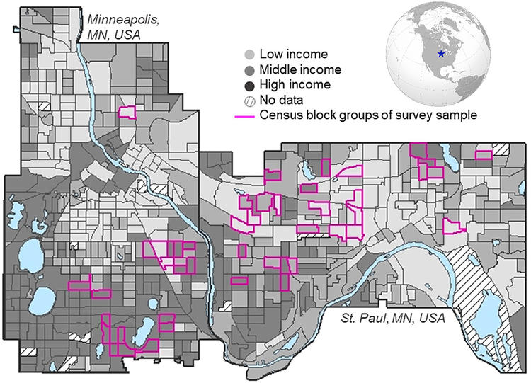
Urban food action plans seek quantitative data on household agriculture gardening, traditionally difficult to quantify rapidly, as well as data on inequality to explore the potential to improve equitable access to fresh vegetables through household agriculture. This article presents a novel hybrid field survey (HFS) method, combining ground surveys with satellite imagery to quantify the prevalence and area of household agriculture gardens, as well as inequality by neighborhood income. We test the method in Minneapolis and St. Paul, Minnesota, (Twin Cities), USA, analyzing the presence/absence (prevalence) and size of agriculture gardens across a total of ~17,500 households in 2017 and repeated in 2020 (during COVID-19). In 2017, the overall mean frequency of household agricultural gardening was 5.0%, with significant differences (2.7 vs. 7.0%) across low- vs. high-income neighborhoods. The city-wide median area per agriculture garden size was 14.6 m2 with greater size (19.8 vs. 11.6 m2) in low- vs. high-income neighborhoods, respectively. Across all income groups, the gardening area was a small fraction of the yard area, suggesting little land availability constraints. Measurements in the summer of 2020 during COVID-19 found the method sensitive over time, showing an overall 60% increase in the prevalence of household agriculture with low-income neighborhoods increasing rates from 3 to 5%. Overall, the method can inform aggregate production potential and inequality in household agriculture.

